![]()
![]()
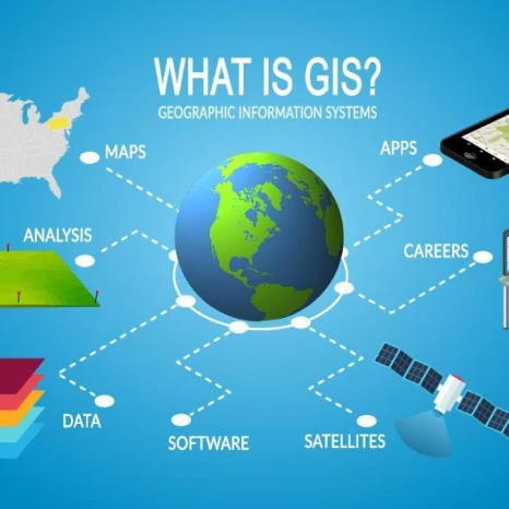
Most local, tribal, state and federal agencies as well as public utilities have, over the past 30 years, implemented comprehensive Geographic Information Systems (GIS) in their organizations to manage their assets and present a graphic interface to their constituents and customers. Now these 2D implementations need to be upgraded to a more modern3D Digital Twin in order to reach the next level in which to apply for a Smart City status.

With this 3D Digital Twin implementation comes the possibility of a constant update of the ever-changing geography. In partnership with XYGO Plaza Aerospace is proud to offer a complete service of drone and ground vehicles LiDAR and imagery service. With an annual subscription to this service customers can now update their geographies three or four times a year and seamlessly update their databases without service interruption.
For those organizations still searching for the right tool to deploy their GIS, Plaza Aerospace can help in the following ways:
For over 28 years Juan has sold and implemented some of the largest and most complex GIS deployments in the Americas. Starting from the philosophy that both the geographic and non-graphic data should be stored in a commercially available database such as Oracle, Juan has guided tens of implementation teams in over 15 countries to reach a positive deployment of a very complex technology.
Integrating cartographic data with third party databases and making the resulting system look seamless is not a trivial task and Juan has helped countless organizations bring together the IT team to work in concert with the GIS team for the benefit of the organization at large.